

Story Maps & Web Apps
Share your story with an inspirational combination of text, interactive maps, imagery, and other multimedia content.

FINALIST in the 2023 ArcGIS StoryMap Competition! The Colorado River earned the unenviable title of "Most Endangered River of 2023" on American Rivers' annual report. In the face of serious risk from climate change and outdated water management, the Bureau of Reclamation is weighing next steps into an uncertain future. Actions taken to manage the Colorado River's water will directly impact the Grand Canyon, where flows have already been reduced and a scenario of no water flowing past Glen Canyon Dam looms near. To bring the story of the Grand Canyon and its river to the fore, in partnership with American Rivers, Environmental Defense Fund, and Water for Arizona Coalition, Four Corners Mapping & GIS produced the Story Map, "Caught in the Middle: A river between two dams and the future of the Grand Canyon". Please read, share, engage, and make your voice heard.
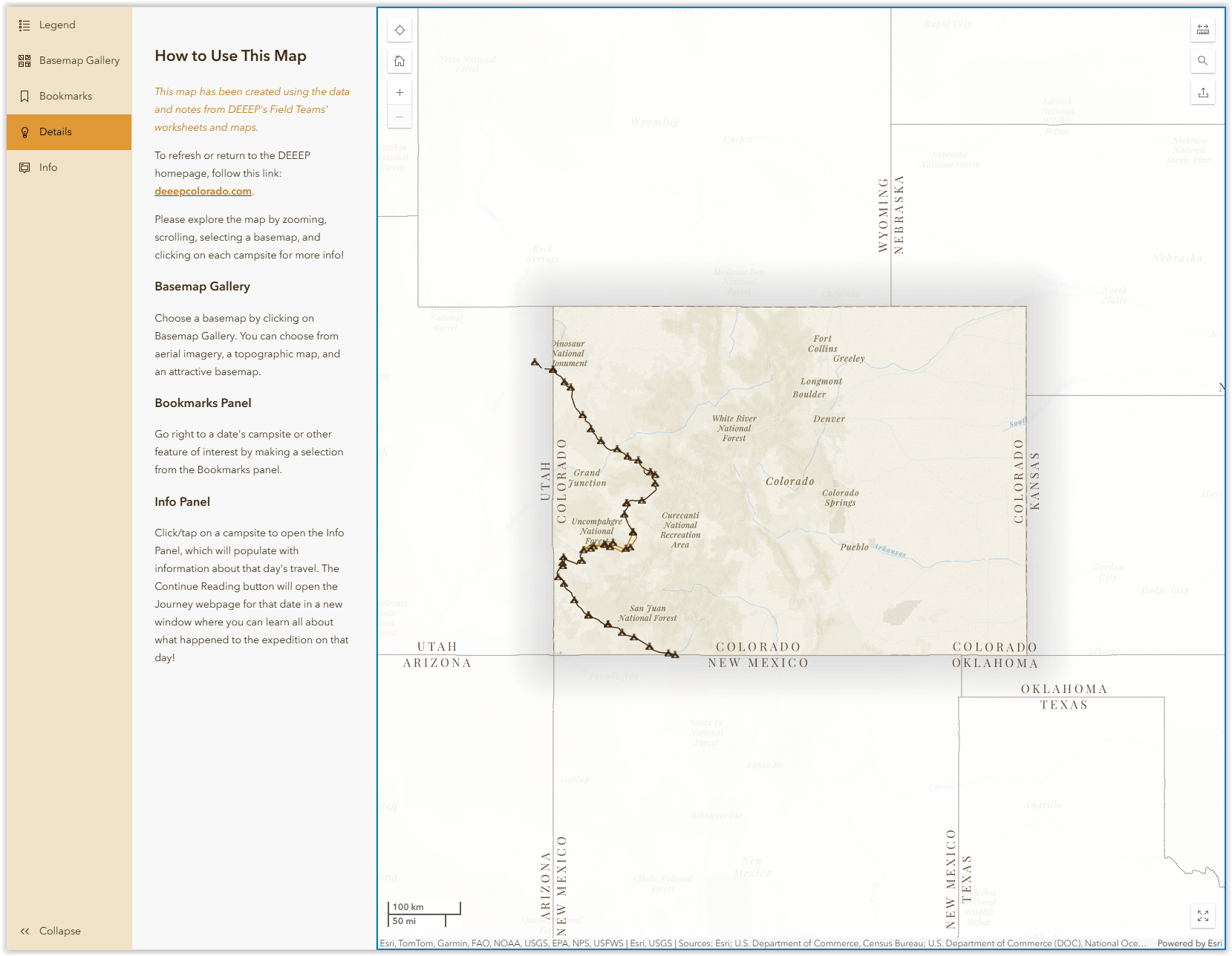
On August 5, 1776, the Domínguez-Escalante Expedition entered Colorado at Carracas and traveled through what is now the western slope of Colorado, entering Utah on September 12, 1776. Led by Franciscan friars Atanasio Domínguez and Silvestre Vélez de Escalante and assisted by indigenous guides of the Timpanogos (Ute) peoples, the expedition produced a detailed journal account, illustrations, and maps of the terrain of the American West. The volunteers of the Domínguez-Escalante Expedition Education Project (DEEEP) have worked tirelessly to research and tell the story of the expedition in Colorado. The DEEEP website features an interactive map I made with Esri ArcGIS Instant Apps, information about each day's travel through Colorado, photos of where the expedition passed through, and more. Go explore!
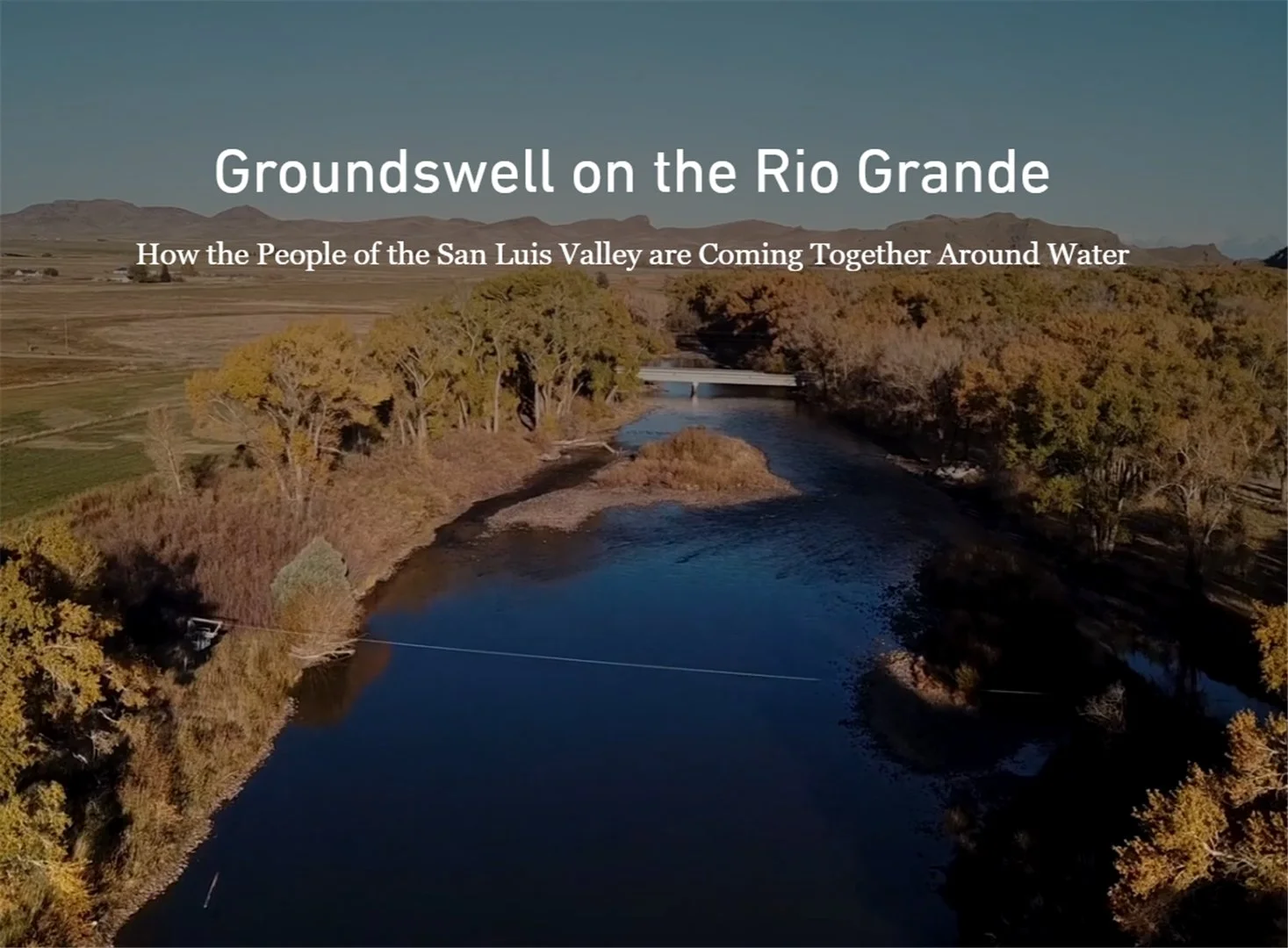
What does the Rio Grande mean to the people in its headwaters, the San Luis Valley? In partnership with American Rivers, I created this Story Map, "Groundswell on the Rio Grande: How the People of the San Luis Valley are Coming Together Around Water" to let the people of the Valley show how the current threat of pumping and exporting water from the basin would impact their way of life.
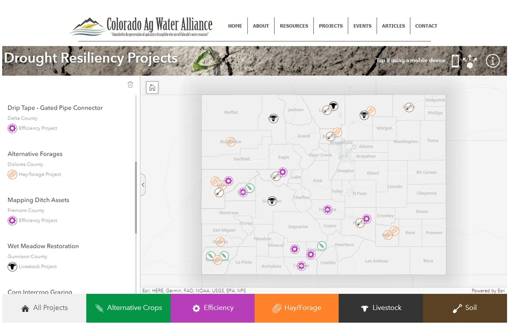
The Drought Resiliency Projects Web App was created for Colorado Ag Water Alliance in partnership with American Rivers to highlight innovative projects in Colorado that employ practices and strategies that keep farms and ranches profitable during drought, with the goal of funding and upscaling those projects in 2023 and beyond. The App was made with the ArcGIS Experience Builder, "a highly configurable solution for building compelling web apps without writing code". Well, maybe a little code!
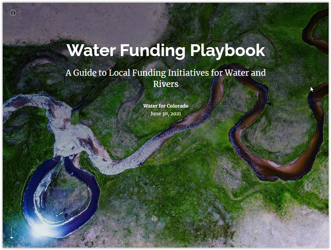
The purpose of this Story Map, which was produced for Water for Colorado Coalition, is to serve as a "Water Funding Playbook" to assist water conservancy districts, nonprofits, local governments, and citizen stakeholder initiatives in learning more about establishing new local sources of public funding for water in Colorado.

This Story Map was produced for Western Resource Advocates to support their campaign in opposition to the Lake Powell Pipeline project.
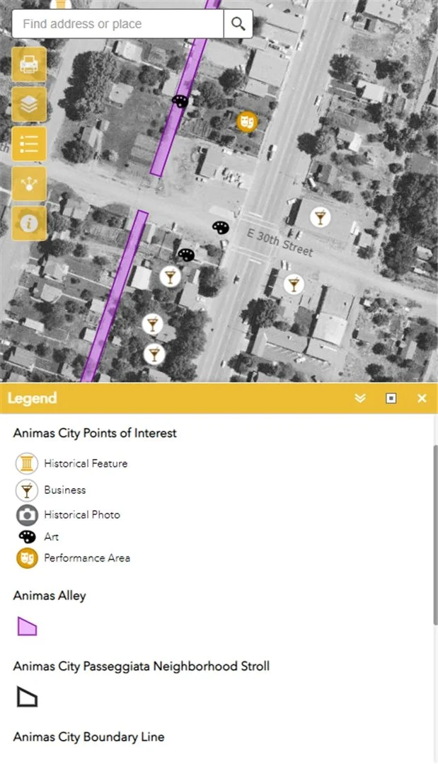
This web map app was created for the Animas City Night Bazaar is a neighborhood-wide, monthly, lively, lit, creative space that welcomes dozens of vendors, artisans and non-profit partners. The app was created to help attendees navigate vendors, art booths, performances, and restaurants, as well as explore the rich history of this neighborhood, now part of Durango, Colorado.